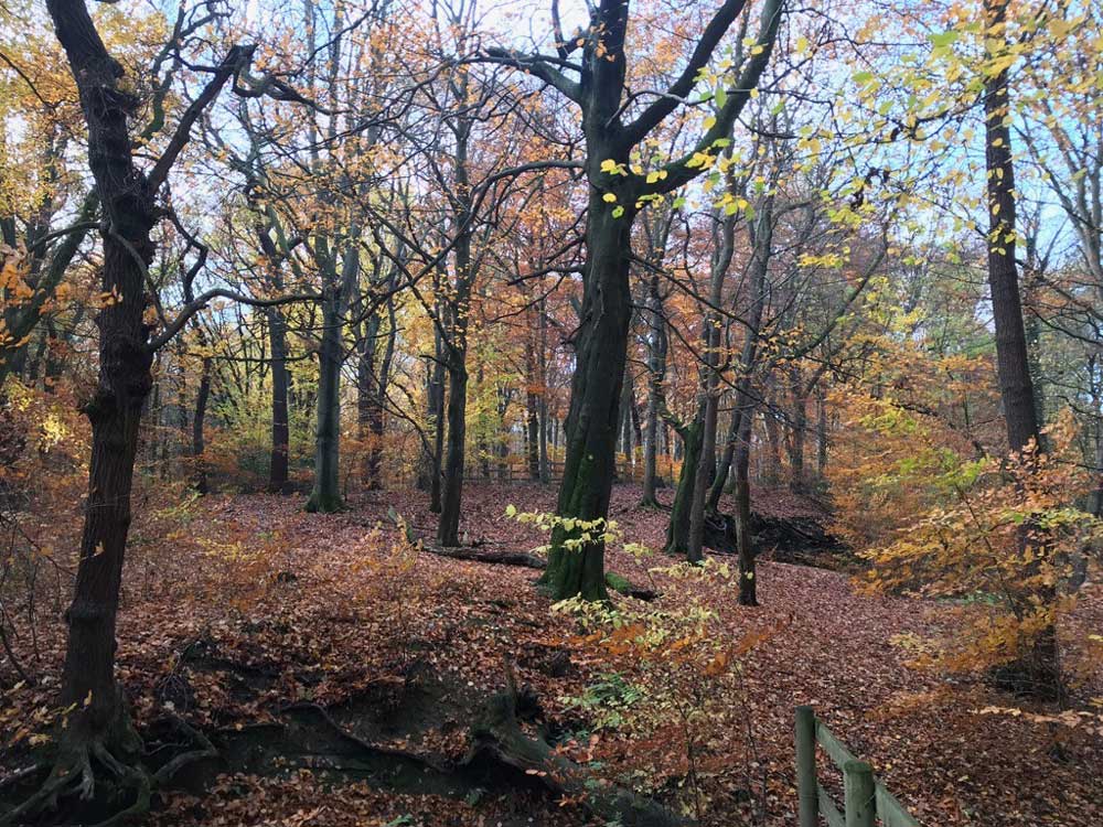
Hiking in the Moss Valley
The Moss Valley is a hidden gem described by some as “better than the Peak District”…
(though much smaller of course!)
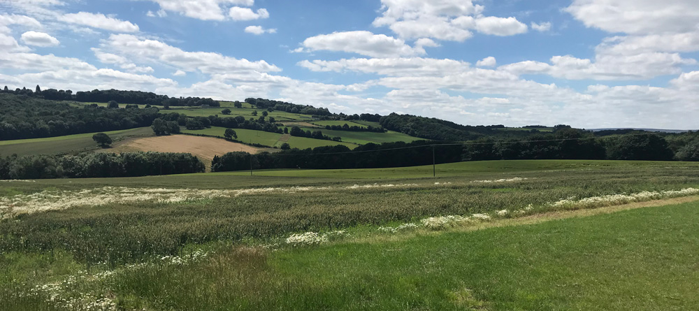
Moss Valley stretches from Norton and Jordanthorpe in the West, to Eckington and Mosborough in the East, where the Moss joins the River Rother near Rother Valley. The valley is predominantly agricultural now, but you can see evidence of its industrial past on your walks.
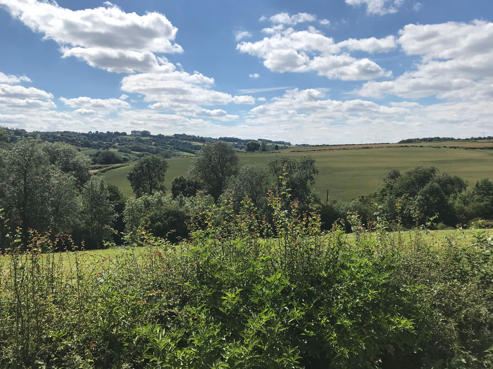
So what else can you expect of the Moss Valley? Ancient woodlands, large oak and beech trees, spectacular bluebell carpets in spring and scents of wild garlic. The valley is absolutely stunning, with an abundance of wild flowers and animals and this selection of walks will allow you to see the best of it. Keep your eyes open for the elusive deer!
There isn’t the numerous hiking blogs and walking guides for the Moss Valley like there is for the Peak District, so I’ve compiled a list here of our favourite walks throughout the valley. Though there are step by step guides, we advise you not to rely purely on these instructions and to take a map with you as well. The area is split across 2 map areas (OS Explorer 278 and 269) so your best bet is to get a custom one printed with S8 8BG as the centre point.
NB. throughout this page, we have used a bit of local terminology for things like the names of walks. This is so that if you ask anyone at the Caravan site for directions or recommendations, you’ll understand what they mean!
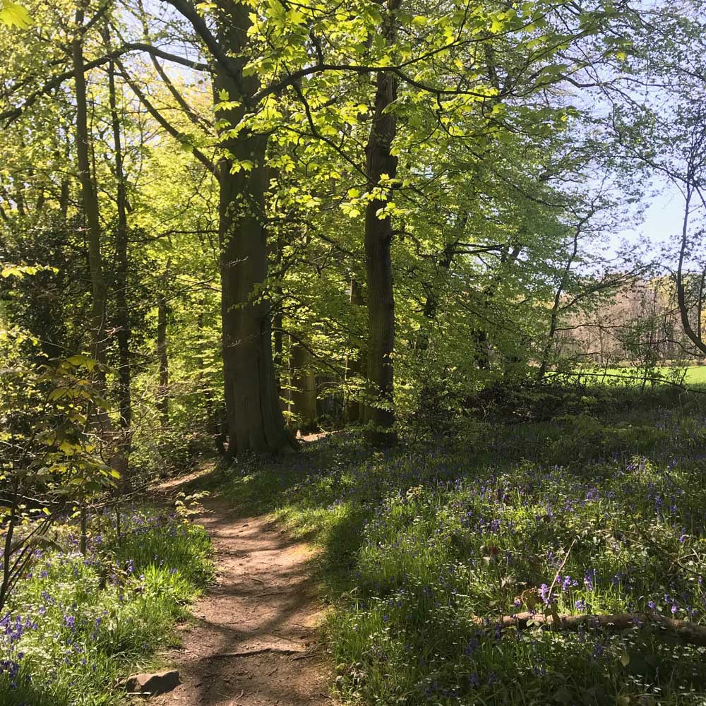
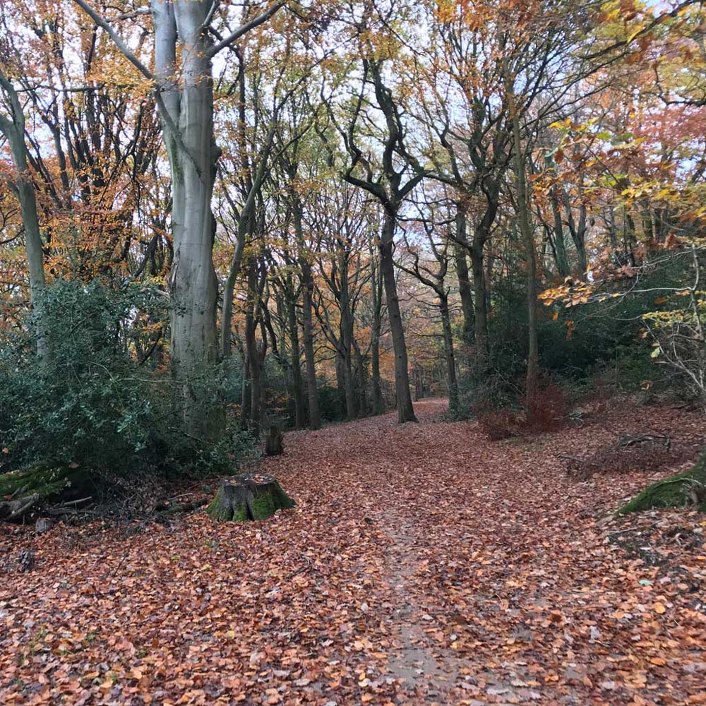

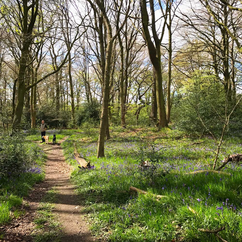
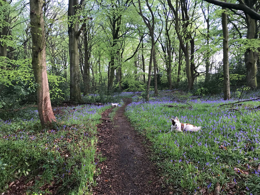

Wetlands Wood Walk
- Leave the Caravan site and turn right, heading up the lane
- Turn left down the tarmac driveway signposted Wetlands (the only driveway on the left that isn’t Lightwood Farm)
- Pick up the footpath, and follow it in a straight line down 3 fields, you’ll come to a gateway into Newfield Spring Woods
- Follow the path slightly up hill and turn left at the top
- Follow this footpath all the way through the woods, you’ll cross 2 streams, the first has a little wooden bridge and the second you walk through but it’s not usually deep.
- After the second stream you’ll go up some steps, and a path joins from the right. Follow the path to the left here, sticking in the woods
- Eventually you’ll come to a small wooden stile, and emerge into a field, turn left here
- Cross the bridge by the stream and turn left following the path left again to a stile
- Now you’re in what we call the Jack field, on the left you’ll see the work of a local organic grower
- At the top of the field turn left on the road and follow up to the Caravan site
Distance: approx 3.5km, Time: approx 40 mins. A beautiful walk, the bird song in a morning is lovely, and the bluebells in Spring are spectacular!
Optional extensions: At step 8, instead of crossing the stream, take the path into Bridle Road wood towards Dowey Lumb, a beautiful fenced meadow with an abundance of wild flowers. This is a nice spot for a picnic. There are several small loops around here that you can do. Our favourite, is to head to the bottom of the meadow, turn left and re-enter the woods. You’ll pass a high bridge, don’t cross this but follow the path to the left. At the T junction, turning left will bring you back to the top of the meadow and you can return via Bridle Road Wood again, or turning right will take you to a stream. Cross this stream, follow the path round and after about 15m turn left, heading uphill. This path will bring you to the stream mentioned in Step 8 from the opposite direction, so take the path to the right, before you get to the bridge, and you’ll end up in the Jack field, and can continue on step 9 and 10. This extension will add approx 30 mins to the time mentioned above.
Wetlands – Hazelbarrow – Long Wood
- Leave the Caravan Site and turn right heading up the lane
- Turn left down the tarmac driveway signposted Wetlands (the only driveway on the left that isn’t Lightwood Farm)
- Meet the footpath and follow it in a straight line down 3 fields where you’ll come to a gateway into the woods
- Follow the path uphill slightly and turn left at the top
- Emerge into a field and turn immediately right here, following the path down the field edge until you get to a small wooden gate
- Go through this gate and follow the path through the field to another wooden gate
- Once you’ve gone through this gate the pathway continues upwards towards Hazelbarrow Farm.
- You don’t want to walk through the actual farm yard, so initially follow the track to the right, keeping the buildings on your left, until you reach the T junction (after about 30m)
- Turn left here, and pass between the farm yard and another house and shed
- Once you’ve passed the shed, turn right on the track that is hedged on both sides, and follow this until you reach the fields (Here you’ll have to cross a stile – there’s no easy way for dogs unless the gate is unlocked, so you’ll need to lift them over or raise the gate slightly for them to crawl under)
- At first there’s a hedge on the left, follow the path straight, pass a few trees and bushes on your right, and then a hedge begins on the right too
- Pass through a small wooden gate, another field and a wooden stile before entering Long Wood (in this last field, be careful of horses – they have a cross-country course here)
- Once you’re in Long Wood, turn left, and follow the lovely wide path along to the top of Dowey Lumb, a beautiful fenced meadow.
- Turn left at the top of the meadow and cross a stile into Bridal Road Wood and follow the footpath all the way through
- Emerge into a field and turn right to cross the stream
- After the stream follow the path up and left and you’ll come out into what we call the Jack Field, on the left you’ll see the work of a local organic grower
- At the top of the field turn left onto the road and follow it back up to the Caravan Site
Distance: 5km Time: Approx 1 hour 10 mins.
Optional extensions: At Step 14, turn right into Dowey Lumb Meadow and head to the bottom of the meadow, turn left and re-enter the woods. You’ll pass a high bridge, don’t cross this but follow the path to the left. At the T junction, turning left will bring you back to the top of the meadow and you can return via Bridle Road Wood following instructions above from step 14 again, or turning right will take you to a stream. Cross this stream, follow the path round and after about 15m turn left, heading uphill. This path will bring you to the stream mentioned in Step 15 from the opposite direction, so take the path to the right, before you get to the bridge, and you’ll end up in the Jack field and can continue on step 16 and 17. This extension will add approx 30 mins to the time mentioned above.
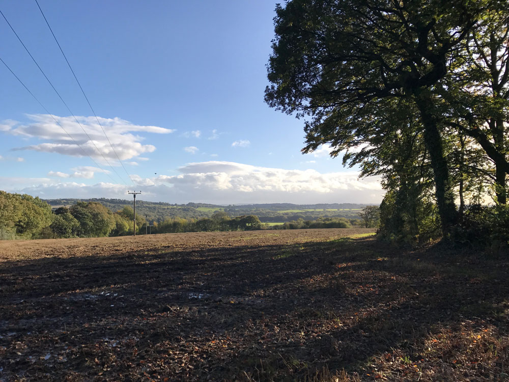


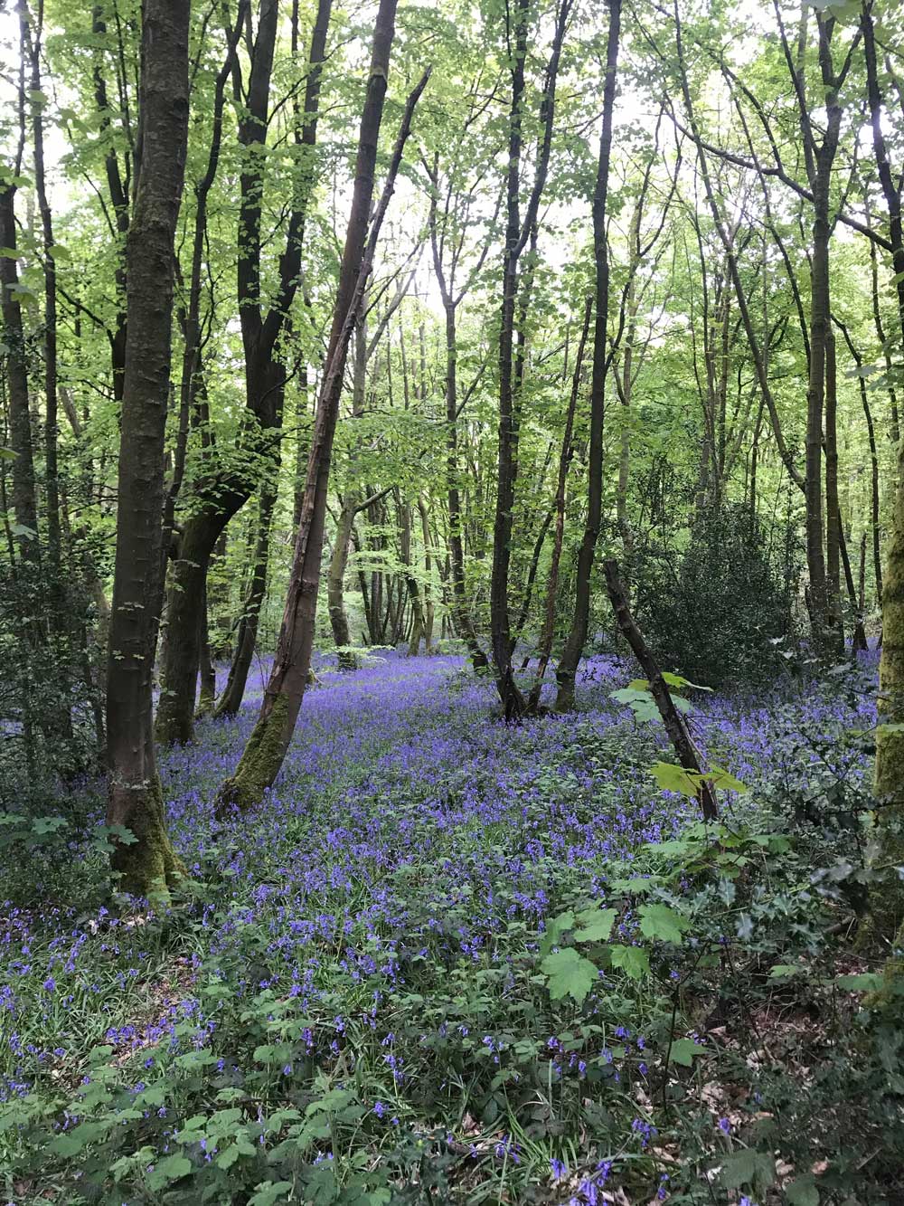
Stoneley & Charnock Woods
- Leave the Caravan Site and turn right, heading up the lane
- Take the footpath to the right, opposite Lightwood Farm’s driveway
- The footpath follows the hedgeline, in the right of the two fields. After you’ve gone up and over the hill, take the diagonal path slightly right
- Cross the wooden walkway over the ditch and continue straight. You’ll have some fencing on your right
- Enter the next field and continue straight with fencing on both sides. At the end of this section, you’ll enter a bit of scrub land briefly. Follow the footpath to the right and enter Stoneley wood
- There’s a web of paths in these woods, including lots made by deer, and also “unofficial” footpaths, so I’ll share with you my favourite route. Take the first right and cross a fallen tree
- Follow with path in a general straight direction, taking the right hand option at any forks. You’ll cross the stream a view times but it’s not usually deep, and will see a few areas where local children have made bike jumps or rope swings
- Eventually, the path will turn slightly downhill and you’ll see a new footpath bridge
- Cross this bridge and follow the path uphill
- After some steps, you’ll emerge into a field, turn left here and follow the footpath up the field edge
- Where the wooded section begins, the paths becomes a track through the trees for a short time, before popping out in another field entrance. Turn right here and then keep to the left hand edge of the field
- You’ll follow the footpath to a gap in the hedge, and in the next field the path diagonally crosses the field (be aware of a large hole on the right side of the path)
- When you reach the farm track, turn right and then left after approx 10m
- Follow the path along the grassy farm track and then to the left of the wooden gate, round the edge of the next field
- Turn left at the corner of the field, over the wooden planks over the ditch. Now you’re back where you were in step 4
- Follow the path up and over the hill, and emerge at Lightwood Farm. Turn left onto the lane and return to the Caravan Site
Wildlife in Moss Valley
The content of this section references information from a map produced by Derbshire County Council’s “Three Valley’s Project”.
Wildlife
The ancient woodlands are home to numerous bird species including the jay, greater spotted woodpecker, and possible even a kingfisher! (Let us know if you spot it! It’s rumoured to live in Newfield Spring Woods!) Woodland management teams throughout the valley try to protect species like the bluebell – the beautiful blue carpets that appear in sprint take years and years to establish and are easily damaged by footfall (so please stick to the footpaths). Throughout May and June the smell of wild garlic is common in the valley as it grows abundantly in the shady areas on the banks of the stream. Into autumn, and it’s funghi season, a powerful and foul smell suggests the presence of the ‘stinkhorn’ fungus. Remember, don’t pick and eat the mushrooms as many are poisonous!
When it comes to larger animals in the valley, fox and badger are abundant, as well as hares. We also have a family of deer that live near the Caravan site, they can be seen on both sides of Lightwood Lane from time to time, so keep your eyes peeled!
Riverlife
The River Moss, sometimes called Moss Brook, is really more of a stream than a river, though the levels can get quite high following rainfall. It starts near Norton at approximately 200m above sea level, and flows into the Rother near Rother Valley. The Moss is what gives the valley its name, and is rich in wildlife, including trout (I didn’t believe my brother that he’d seen one at the bottom of Dowey Lumb meadow until I’d seen it for myself, but it was true!)
The banks of the river are home to moisture loving plants like willow and marsh marigold, and also provide a home for the water vole which is nationally rare. I can’t say I’ve ever seen one, but if you spot one, do let us know where!
Meadows
There are several old hay meadows in Moss Valley, and some are designated Sites of Special Scientific Interest (SSSI), where meadow flowers are abundant and protected. Meadow vetchling and yellow rattle can be found in some of these meadows. Wild flowers provide a good source of nectar for moths and butterflies, of which over 200 species have been recorded in the valley. The bees also love the wild flower meadows.
Two meadows you can visit in the valley are:
Dowey Lumb, mentioned in several of the walk descriptions on this page. A beautiful spot for a picnic, this secluded meadow in the middle of the woods has many wild flower species. There’s also a bees nest beneath the path, so beware of the little holes in the ground as you pick your picnic spot!
The SSSI near Hazelhurst Farm, is a National Trust site, and you can walk around it. Head out of the Caravan Site and turn left, heading down the lane, past the Sheffield Organic Growers, until you earch Hazelhurst Farm – a collection of buildings on the right. On the gateway opposite here, you’ll see a National Trust sign, and a little labelled map showing you where you can walk. It’s not far from the road.
Povey Farm – Ryall’s Wood
- Turn left out of the Caravan Site and follow Lightwood Lane all the way down
- Before Povey Farm, you’ll see a footpath go up to the left, through an open white-ish gate up a step. Follow the footpath
- Turn right before the big round buildings and follow the footpath down through the farm
- You’ll reach a section which is hedged on both sides, follow this for approx 200m
- Turn left into the field, and follow the path along the field edge to begin with, and then it veers obviously across the field and into the woods
- Follow the footpath down through the woods – there’s 1 fork but both paths run parallel
- At the bottom, turn left and cross the stream, then follow the path uphill
- At the white house, turn left and follow the hedged track
- After approx 200m, turn left into Ryalls wood. The bluebells in here are lovely in spring.
- For a shorter route, take the left at the fork which which take you straight to the bottom of a field with a steep hill (turn left as you exit the woods at the bottom)
- For a slightly longer route, take the right at the fork and weave through the beautiful woods. After a steep-ish downhill section, the path turns right and heads back uphill. At the top, take the left and follow the path over a pony trap (two beams of wood at right angles) and out into a field. Turn left here and walk all the way downhill. If you took the shorter route, you’re now at the same place, and the bottom of a steep field.
- Walk up the steep field, and back to Povey farm.
- Keep all buildings on your left to stick to the footpath through the white-ish gate and back onto Lightwood Lane.
- Follow the lane all the way back to the Caravan Site
Distance: approx 5km Time: approx 1 hour and 30 mins. A beautiful walk further into the Moss Valley
Optional extension: At the bottom of the big steep hill, before crossing the stream bridge, turn right up the edge of the field, keeping left. After about 150/200m the footpath goes into the woods. Follow it all the way along, until there’s the option to go left, over a new footpath bridge. Cross the bridge and follow the path, it’ll take you up some steps and out into a field. Turn left in the field and follow the path straight up the field edge. It’ll go through a small wooded section with trees either side, and then emerge at a field gateway. Turn right here and then keep to the left hand edge of the field, following the path through a hole in the hedge to the next field, where the path goes diagonally across (be aware of the hole on the right). When you get to the farm track, turn right and then left, then follow the grassy farm track. The path then goes left of a wooden gate around the edge of a field. Turn left at the corner of the field, over some wooden planks across a ditch, and then follow the path straight up and over the hill. This comes out opposite Lightwood Farm entrance. Turn left here and follow the road back to the Caravan Site. This extension adds only about 15/20 mins to the normal route and is much more interesting than the field and the lane.

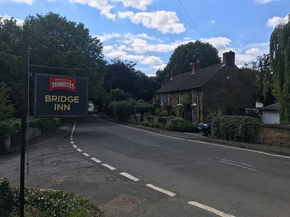
The Bridge Inn @ Ford
- Turn left out of the Caravan Site and follow Lightwood Lane all the way down
- Before Povey Farm, you’ll see a footpath go up to the left, through an open white-ish gate up a step. Follow the footpath
- Turn right before the big round buildings and follow the footpath down through the farm
- You’ll reach a section which is hedged on both sides, follow this for approx 200m
- Turn left into the field, and follow the path along the field edge to begin with, and then it veers obviously across the field and into the woods
- Follow the footpath down through the woods – there’s 1 fork but both paths run parallel
- At the bottom, turn left and cross the stream, then follow the path uphill
- At the white house, turn right and follow Gear Lane all the way to the end T junction
- Turn left at the T junction – there’s a small section with no path, but the path soon begins on the left
- Cross the road before the next corner to the pavement on the other side, and you’ll soon reach the Bridge Inn which is a nice spot for a drink!
- After enjoying your rest stop, from the pub walk up the main road, in the opposite direction that you came for about 350/400m until you reach Sloade Lane (the first left turn available)
- Cross the road and walk down Sloade Lane
- At the bottom of the hill you reach a small ford and a T junction. You can two options here, option A:
- Turn left at the ford and walk uphill, past the buildings and continue along the footpath until you reach Ryall’s wood.
- Continue straight into the woods and then left at the fork
- When you emerge onto a field, turn left and head up the hill to Povey Farm
- Keep Povey’s buildings on your left to stick to the footpath and continue out onto Lightwood Lane, turn right and follow the lane back to the Caravan Site
- Option B:
- Turn right at the fork and follow the road until it turns into a footpath
- Follow the footpath straight, keeping to the edge of the field
- Cross the stile and still stay straight, now walking downhill
- You’ll have Ryall’s wood on your left, walk down and then up the hill that’s ahead of you to Povey Farm
- Keep Povey’s farm buildings to your left to stay on the footpath and walk out onto Lightwood Lane. Follow Lightwood Lane back uphill to the Caravan Site
Distance: Approx 7.5/8km. Time: 2-2.5 hours. A beautiful route through Moss Valley to Ford and Ridgeway – slightly more tarmac than most other routes on this page.
Eckington Woods
- Turn left out of the Caravan Site and follow Lightwood Lane all the way down
- Before Povey Farm, you’ll see a footpath go up to the left, through an open white-ish gate up a step. Follow the footpath
- Turn right before the big round buildings and follow the footpath down through the farm
- You’ll reach a section which is hedged on both sides, follow this for approx 200m
- Turn left into the field, and follow the path along the field edge to begin with, and then it veers obviously across the field and into the woods
- Follow the footpath down through the woods – there’s 1 fork but both paths run parallel
- At the bottom, turn left and cross the stream, then follow the path uphill
- At the white house, turn right and follow Gear Lane all the way to the end T junction
- Turn left at the T junction – there’s a small section with no path, but the path soon begins on the left
- Cross the road before the next corner to the pavement on the other side, and you’ll soon reach the Bridge Inn which is a nice spot for a drink! You’ll be returning past here so could save it for the way back
- Take the small lane that leads to the left of the pub and walk throught the little car park, picking up the footpath that follows the stream
- When you get the opportunity, cross the stream (you’ll walk past more fish ponds and fields first)
- After crossing, you follow the most obvious path, keeping the stream to your left. Keep walking straight
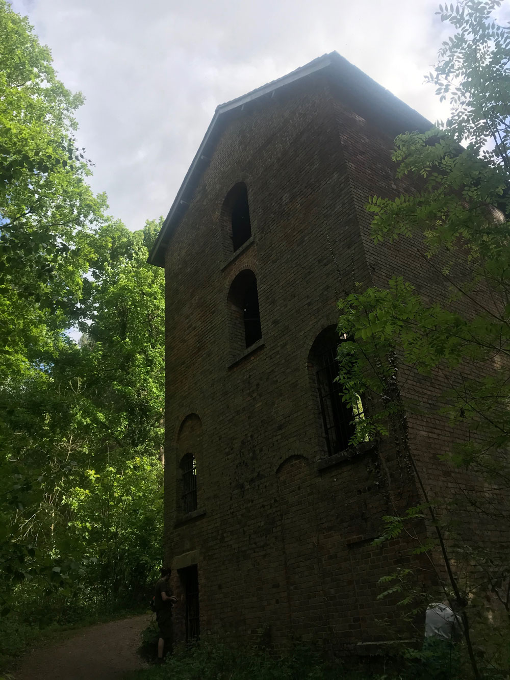
- Eventually, you’ll reach the Seldom Seen Engine House, which is a large brick building just to the right of the path, and is the most obvious remnant of the valleys industrial past. (You can’t go inside it)
- After viewing the Seldom Seen Engine House, turn back on yourself and walk back the way you came for about 100m until you get the oppotunity to turn right and cross a bridge over the stream
- After the bridge turn left, you’re now following this footpath back through the woods, all the way to the Bridge Inn at Ford
- The route is pretty easy to follow, at one point you cross a stile into a field, and eventually you’ll recognise the fish ponds you walked past earlier
- Return the way that you came to the Bridge Inn or if you fancy a different route back, the following 2 options are lovely too:
- After enjoying your rest stop, from the pub walk up the main road, in the opposite direction that you came for about 350/400m until you reach Sloade Lane (the first left turn available)
- Cross the road and walk down Sloade Lane
- At the bottom of the hill you reach a small ford and a T junction. You can two options here, option A:
- Turn left at the ford and walk uphill, past the buildings and continue along the footpath until you reach Ryall’s wood.
- Continue straight into the woods and then left at the fork
- When you emerge onto a field, turn left and head up the hill to Povey Farm
- Keep Povey’s buildings on your left to stick to the footpath and continue out onto Lightwood Lane, turn right and follow the lane back to the Caravan Site
- Option B:
- Turn right at the fork and follow the road until it turns into a footpath
- Follow the footpath straight, keeping to the edge of the field
- Cross the stile and still stay straight, now walking downhill
- You’ll have Ryall’s wood on your left, walk down and then up the hill that’s ahead of you to Povey Farm
- Keep Povey’s farm buildings to your left to stay on the footpath and walk out onto Lightwood Lane. Follow Lightwood Lane back uphill to the Caravan Site
Distance: Approx 13-14km. Time: allow 3.5-4 hours, more if you want to stop for drinks/food. A stunning walk that takes in some of the best bits of the eastern part of Moss Valley.
Industry of Moss Valley
The content of this section references information from a map produced by Derbshire County Council’s “Three Valley’s Project”.
Iron Making
Between around 1415 and 1900, the Moss Valley would have looked very different! A hive of industrial activity! Iron making was a major industry for the valley after George Sitwell started Renishaw Iron Works at Foxstone Wood in about 1640. Eight water wheels throughout Moss Valley were used to power grinding stones for producing cutlery, flour, tree saws, sythes and sickels.
At one point in the 17th century, the area around Eckington was producing more iron nails than anywhere else in the world!
When Chesterfield Canal was built, access to the area improved and exports of iron increased. Saws were exchanged for sugar from the West Indies and America, and iron pans were in demand for boiling the sugar.
Local woodland was coppiced for producing charcoal used in the iron smelting process.
Coal Mining
Industrial activity in the valley intensified when iron smelting switched from using charcoal to coal. By the 19th century there were numerous collieries in the area (that’s where the name Coal Aston comes from – the village south of Moss Valley) and transport links were much improved with the Chesterfield Canal and loval railways.
If you walk the Eckington Woods walk mentioned on this page, you’ll see the Seldom Seen Engine House, which is impressive, even without being allowed to go inside. The engine house is thought to date back to between 1855 and 1875 and housed a huge winding wheel for the Plumbley coal mine. The path that leads to the engine house is wide and flat! It used to be the old Penny Engine Railway line which ran from here to the main line station at Renishaw. It was used to transport trucks, and also people if they paid an old penny!
Agriculture
Now the Moss Valley is predominantly agricultural. Until 2006 Lightwood Lane had 2 dairy farms operating, one of which was us here at Lightwood Farm. Now though, we have a much lower maintenance, beef herd.
Further down Lightwood Lane, you’ll find Povey Farm, home of Moss Valley Fine Meats. Here they rear pigs, and have won many awards for their meat.
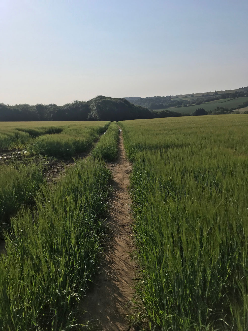
Throughout the valley, much of the land is used to grow grass which is used as hay or silage to feed animals during the winter. You’ll also notice some wheat, barley and rape.
Don’t forget to stick to the footpaths at all times. In the woodlands this protects wild flowers like bluebells, and in agricultural land it protects crops and grasses from being flattened and damaged. It’s also important to pick up dog poo as this can cause problems in cattle when ingested. Thank you!

The Gate Inn @ Troway
- Turn left out of the Caravan Site and follow Lightwood Lane all the way down
- Before Povey Farm, you’ll see a footpath go up to the left, through an open white-ish gate up a step. Follow the footpath
- Turn right before the big round buildings and follow the footpath down through the farm
- You’ll reach a section which is hedged on both sides, follow this for approx 200m
- Turn left into the field, and follow the path along the field edge to begin with, and then it veers obviously across the field and into the woods
- Follow the footpath down through the woods – there’s 1 fork but both paths run parallel
- At the bottom of the hill, continue straight and cross the long bridge across the stream. The path continues uphill all the way to Troway road with no forks.
- When you come to the road, turn right and walk until you see the Gate Inn on your left. Enjoy drinks here (they don’t sell food).
- After your pub stop, you need to take the footpath that starts at the corner of the road, on the opposite side of the road to the pub. This will take you back down into the Moss Valley
- At the fork in the path, take the right and follow the path until it comes out at a stream
- Cross the bridge over the stream, and follow the farm track up to Povey Farm. Follow the path back through to Lightwood Lane, the way you came.
Distance: approx 6km. Time: approx 2.5 hours. A lovely walk exploring more of the south side of Moss Valley.
Optional (more scenic) route back:
- At Step 11, instead of crossing the stream, take the small bridge to the left, and stay on the south bank of the river Moss.
- You’ll see the footpath weave into the woods on the opposite side of the farm track. Follow this, but keep left for 50m so you pop out into the field (the right hand option through the woods isn’t maintained and so the foot bridges are now impassable).
- When you emerge into the field, turn right and follow the trodden path along the bottom edge of the two fields, until it turns into the woods.
- Keep left and enter the third field for a short time before turning right into the woods. Cross the stream.
- At the fork, you can turn left or right:
For the left option:
- Cross the second stream and keep walking straight up until you get to the opening at the top of Dowey Lumb, a beautiful fenced meadow.
- Turn right here and walk through Bridle Road Wood.
Turn right when you get to the field and cross the stream, then turn left and cross a stile into what we call the Jack field. - Walk up here and when you get to the road, turn left and follow it up, back to the Caravan site.
For the right option:
- Follow the path up and round, with fields on your right
- When you see a stream, take the right before you cross the stream, cross the stile into what we call the Jack field
Walk up here and turn left when you reach the road. - Follow the road back up to the Caravan site.
Dowey Lumb – Long Wood
- Turn left out of the Caravan Site and walk down the lane
- Take the footpath on the right, 50m after a sharp left hand bend. We call this field the Jack field, and it’s now farmed by local organic growers, so you’ll see lots going on
- At the bottom of the field, cross the stile in the woods and follow the path round to the right, crossing the stream
- After the bridge, take a left and head into Bridle Road Wood
- After the stile at the end of the wood, continue straight and cross the stile next to the wooden gate into Dowey Lumb, a beautiful fenced meadow
- At the bottom of the meadow, turn right before you reach the stream, and re-enter the woods
- Continue straight and then cross the wide wooden walkway
- Follow the pathway up, and keep left at the fork
- When you get to a bridleway gate, you can go through it into the field, or stay on the woodland path a little longer – it will bring you out in the field a little further round.
- Follow the field edge around until the path takes a right, cutting across a section of the field, heading slightly downhill to another wooden gate
- Go through the gate and into the woods, follow the path all the way down and cross the wide wooden walkway, then turn right
- After approx 5-10m turn left heading uphill for a short time, then turn right
- Follow the wide pathway all the way back to the top of Dowey Lumb
- Return the way you came through Bridle Road Wood and up the Jack Field
Distance: Approx 6km. Time: Approx 1.5-2 hours. A really beautiful walk into the heart of the western part of the Moss Valley, following what we fondly call the yellow brick road – because the many of the woodland tracks have been widened and surfaced getting rid of a lot of the mud (we’re very grateful to the work of the woodland maintenance!).

